I like special places, spots where quirks of geography, climate, and culture create worlds within worlds. More often than not, at least in the US, these places require access by foot—anyplace we can drive right up to is inevitably overused. No, as Wendell Berry reminds us, one must get “out of your car, off your horse” to truly know a place.
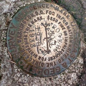
One such place that I’ve returned to time and again over the last two decades is the Mt. Rogers massif in Southwestern Virginia, contained in an overlapping array of federal lands (Mt. Rogers National Recreation Area, Jefferson National Forest, and Lewis Fork Wilderness). It’s not the highest mountain in the region (though it is the highest in Virginia), nor the most picturesque—just a long, gentle rise to a dome of dark green in the midst of open fields and brambles—four miles from the nearest road and a few miles north of the North Carolina line.

What makes it special then?
- To the intrepid souls who attempt a through-hike on the Appalachian Trail (which runs across the massif from west to east), Mt. Rogers is the 1/4-way point for the normal South-North route.
- To day-hikers from all over the area, it’s the place to come see the ponies—a barely managed herd of small horses allowed to run wild across the mountain to keep the historically bald areas free of of encroaching forest.
- To naturalists, it’s the farthest north outpost of Appalachian spruce-fir forest.
- To the solitude-seeker, it is among the quietest places in an otherwise heavily populated part of the world—a long way from highways and flyways, a little slice of “out West” in the Southeast.
- To me it’s been a place for walking and thinking, vista contemplating, berry picking, and thunderstorm dodging, alone or with family and friends.
Visiting my family in NC last month, I took a jaunt up into Virginia to see it again. Rather than fight the sometimes-heavy summer crowds that can clog the trail on the Grayson Highlands State Park side of the mountain, I started from the Elk Garden trailhead on the west slope.
From the road, the trail is an almost continuous ascent, never too steep—first through open fields (watch for cow pies), then a mixed hardwood forest, then high balds, and finally the close darkness of the spruce-fir forest. These four miles of the AT are much less travelled than the wide, gravelly paths on the east side of the mountain, with brush and grasses closing in and barely leaving enough room to pass another hiker. Of course, that’s not terribly likely—I passed nary a soul on the way up, and only 3-4 people on the way back.
After summiting Rogers, I decided to walk along the ridge to Rhododendron Gap, making a total there and back of 13 miles. There were ponies aplenty, and deer, and birds (ravens, songbirds of all varieties, and even a pair of Canada jays, which are supposedly not even found that far south). It was a bit late for most wildflowers and a bit early for blueberries (though ferns and fungi are always in season), but the overall experience of this place was just as magical as ever.
There’s hardly a better spot to spend a day wandering this side of the Mississippi. It’s a little world unto itself.


