The Woods Never Give Up

Rodgers and Hammerstein notwithstanding, I’ve always known the hills are alive.

At 14, my family moved from the sandy pines of South Georgia to a high Appalachian town in North Carolina. Our house there, nearly 4,000 feet above sea level, did not have air conditioning. We only missed it a few days each summer. Something in my internal thermostat must have permanently re-set in the years I spent there, leaving me pining for the mountains whenever summer begins to creep into the Tennessee Valley, where I’ve lived since college.

Once the temperature hits the mid-nineties, I often give up and flee to the hills. Seeking refuge in the lush shade of temperate rainforest or ridgeline breezes is a family tradition, though I suppose it hasn’t helped me re-acclimate to the rest of the South. Blessedly, I still live close enough that a 2-hour drive and quick mile hike can take me to another world.

Learning to Look Up

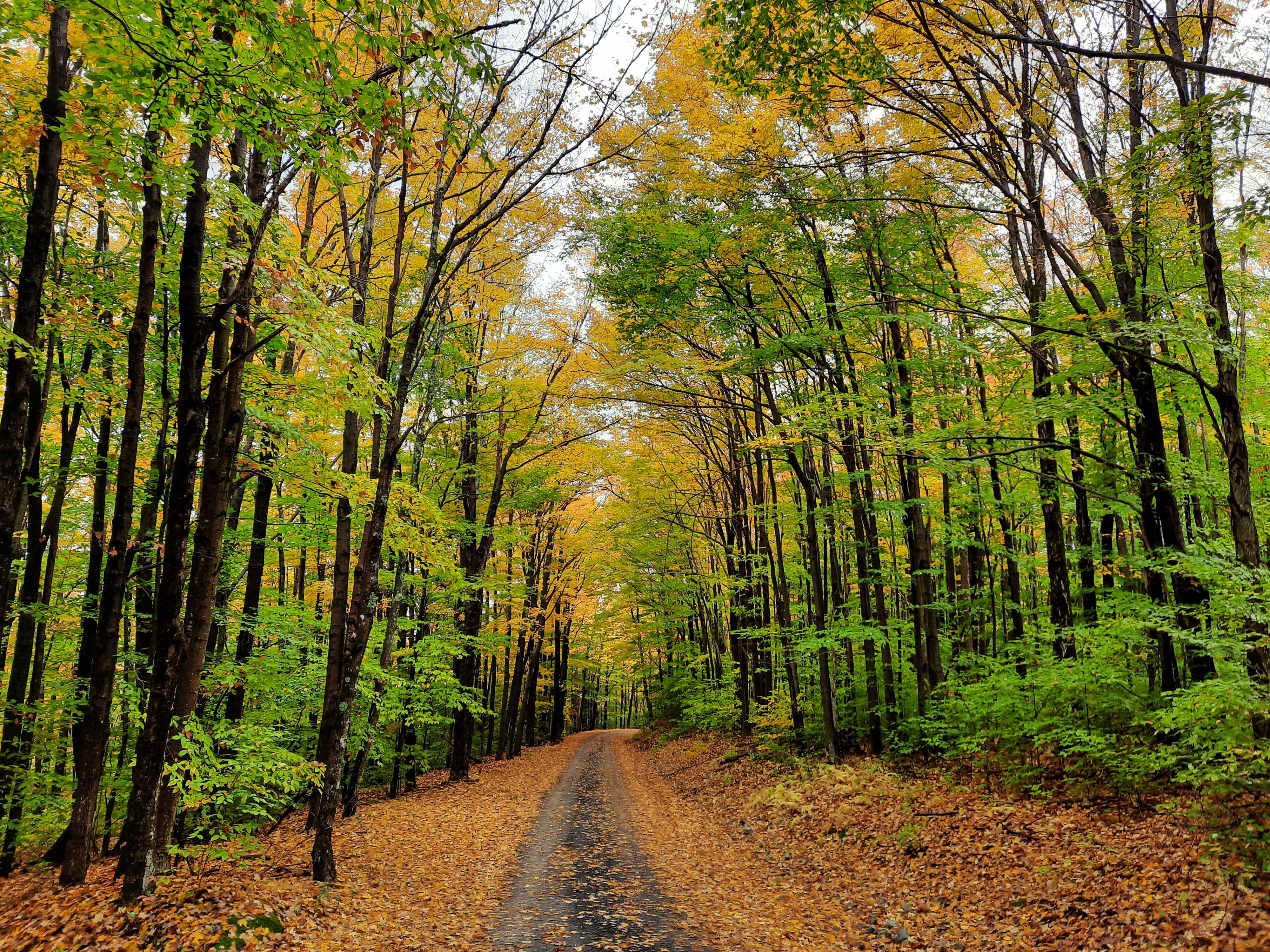
Old-growth cove forests seem designed to lead to self-forgetfulness. I know I can always find rest there leaning on the shoulder of a tulip poplar, rocketing to heaven from a vast fan of creekside roots. Six, maybe eight, feet thick, one hundred seventy-five feet tall, it has carried the weight of the world for five or six hundred years. The propped frame of a passing hiker is no added burden.

The Cherokee called these woods “Nantahala”—roughly translated as “the place of the noonday sun”—because the high valley slopes only let light reach the forest floor for a brief while in the middle of each day. With the thick summer canopy in full flush, it’s not all that bright even then. The understory is not thick, owing to the dark shade, with small shrubs and groundcover gobbling up what light they can, leaving much of the ground open for mushrooms, millipedes, and microbes to slowly work through rotting branches and centuries of leaf-litter.

Though the Cherokees’ original name persists for the National Forest encompassing this area, the U.S. Forest Service selected a particular cove to rename as a memorial to poet Joyce Kilmer, best remembered for an untimely demise in World War I and one particularly sentimental poem (“Trees”) that ends with the line, “only God can make a tree.” 

Such divine provenance certainly hasn’t stopped people from trying to make trees. Looking up a bare trunk that punctures through all competing foliage before its first leaf, it is not hard to see cathedral columns of Gothic imagination. Perhaps stone temples bathed in stained-glass light were attempts to recapture the world as it was before it was  “seared with trade; bleared, smeared with toil,” as another poet—Gerard Manley Hopkins—phrased it in “God’s Grandeur.”

Death and Rebirth
Not many such vaulted glades remain today even under the putatively watchful eye of the USFS. It protects a few wilderness spots like this while managing millions of acres for timber contracts. What becomes of a sacred space when the pillars come down? 

At Joyce Kilmer, across the creek from the main grove of outsized poplars, there are scars. A swath of the cove was devastated by the one-two punch of a tornado during the 2011 Southeast “Super-outbreak” and a forest fire during the exceptional drought of 2016. What grows on that slope today bears little resemblance to pre-storm flora. A tangled mass of hydrangea, mountain laurel, loosestrife, blackberry canes, and saplings of maple, birch, hemlock and even the next generation of tulip poplars have rushed into the breach—all interspersed with a handful of older trees that survived the upheaval.

In spite of the temporary overabundance of sunlight and the changes in soil moisture it brings about, this is a forest in recovery. In 2-3 more decades, it will look more like a typical, healthy cove forest again, shading the creek again and allowing the ground and micro-biome to bounce back. Barring other catastrophes, in another 40 or 50 decades, it will be as majestic as its antique neighbors further up the cove are now.

Destruction and Restoration

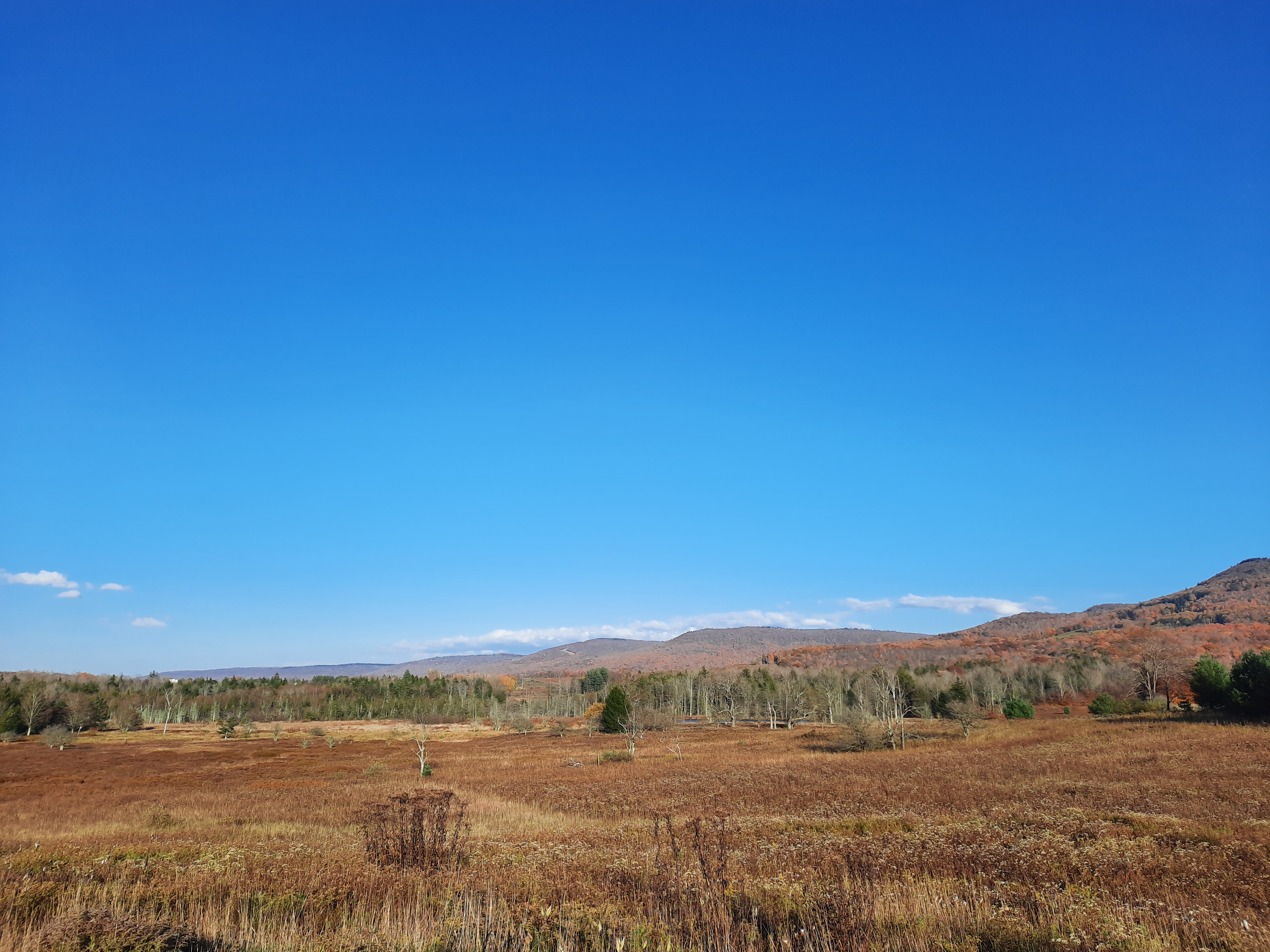
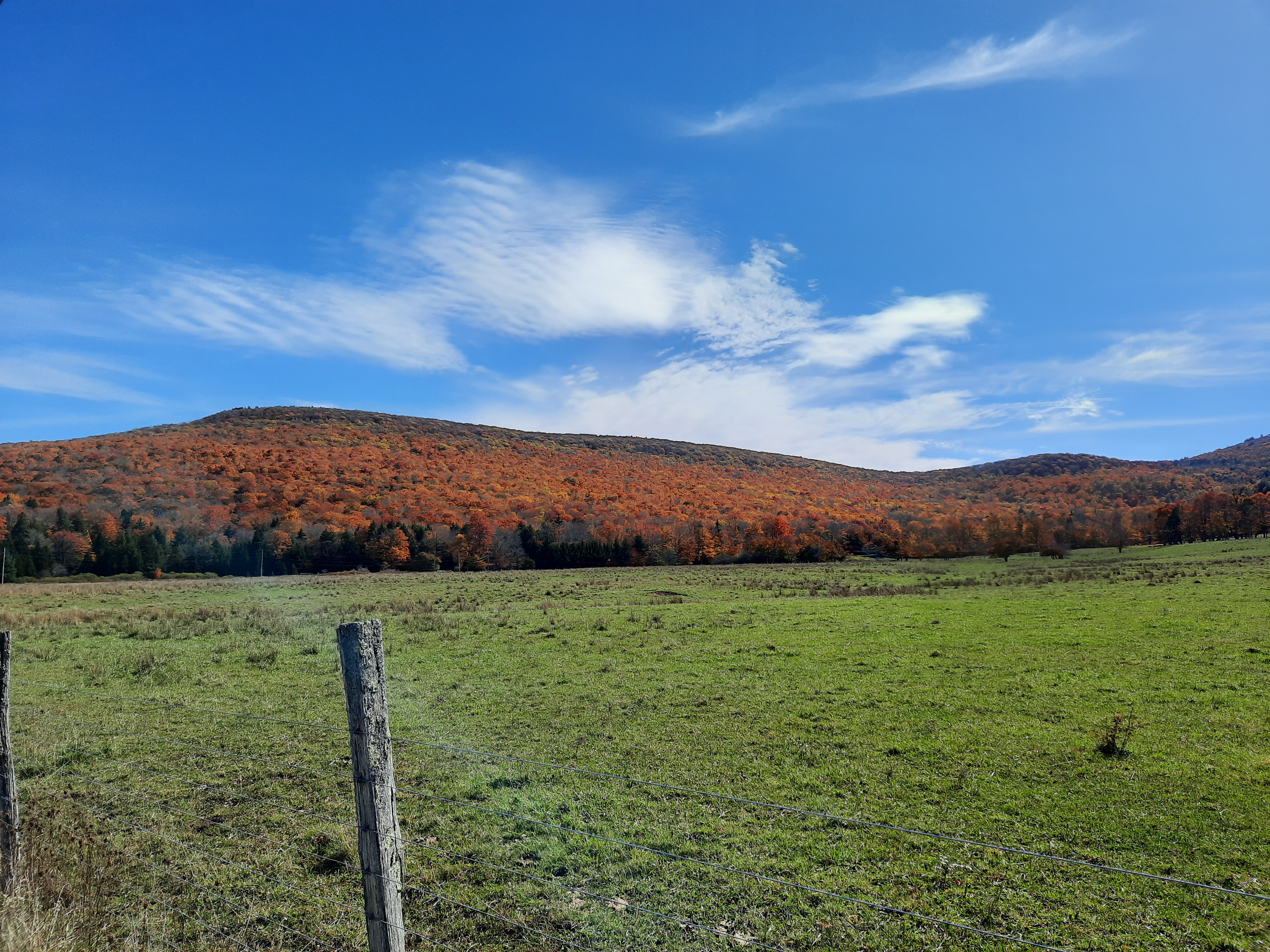
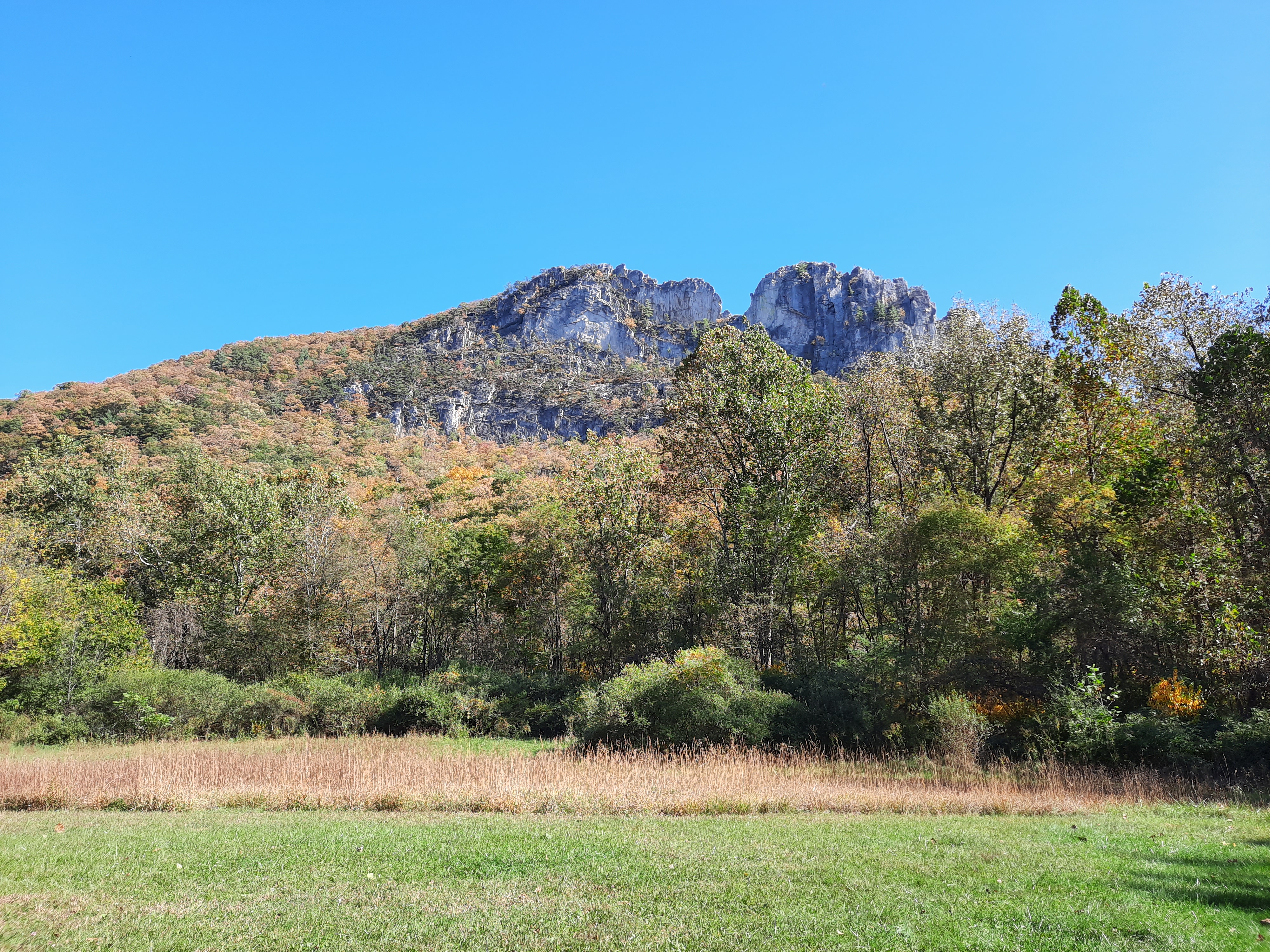
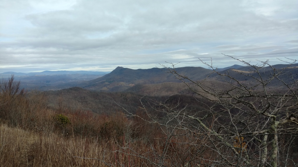
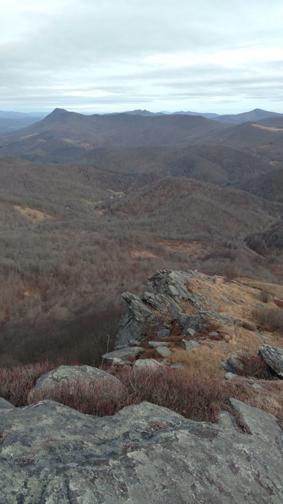
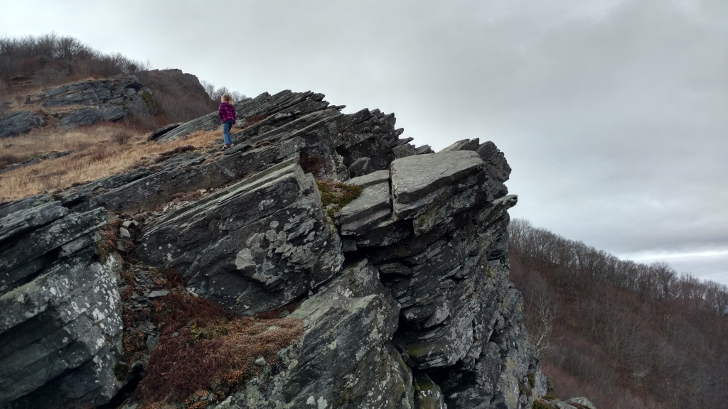
Just below the summit of Huckleberry Knob—a 5,560’ peak barely 5 miles west of this poplar grove—another story is told in a clutch of 14 Fraser firs. These evergreens (of Christmas tree industry fame), only grow in the wild atop the highest reaches of the Southern Appalachians. What makes this tiny forest stand out is its isolation, a sort of reverse-clearing within acres of grassland.

Huckleberry Knob is one of the fabled “balds” that draw hikers from all over the country for their sweet-smelling wildflower meadows and 360-degree views. Originally, it’s likely that the whole summit was forested with firs and red spruce, like many neighboring peaks to the north and east, but only this patch remains. Why balds exist at all, no one really knows. Most speculate that they were created either by timbering or lightning-sparked wildfires, but ended up being maintained “artificially”—maintained by the Cherokee as sacred sites or berry harvesting centers, later used for summer grazing land by European settlers weary of valley heat.

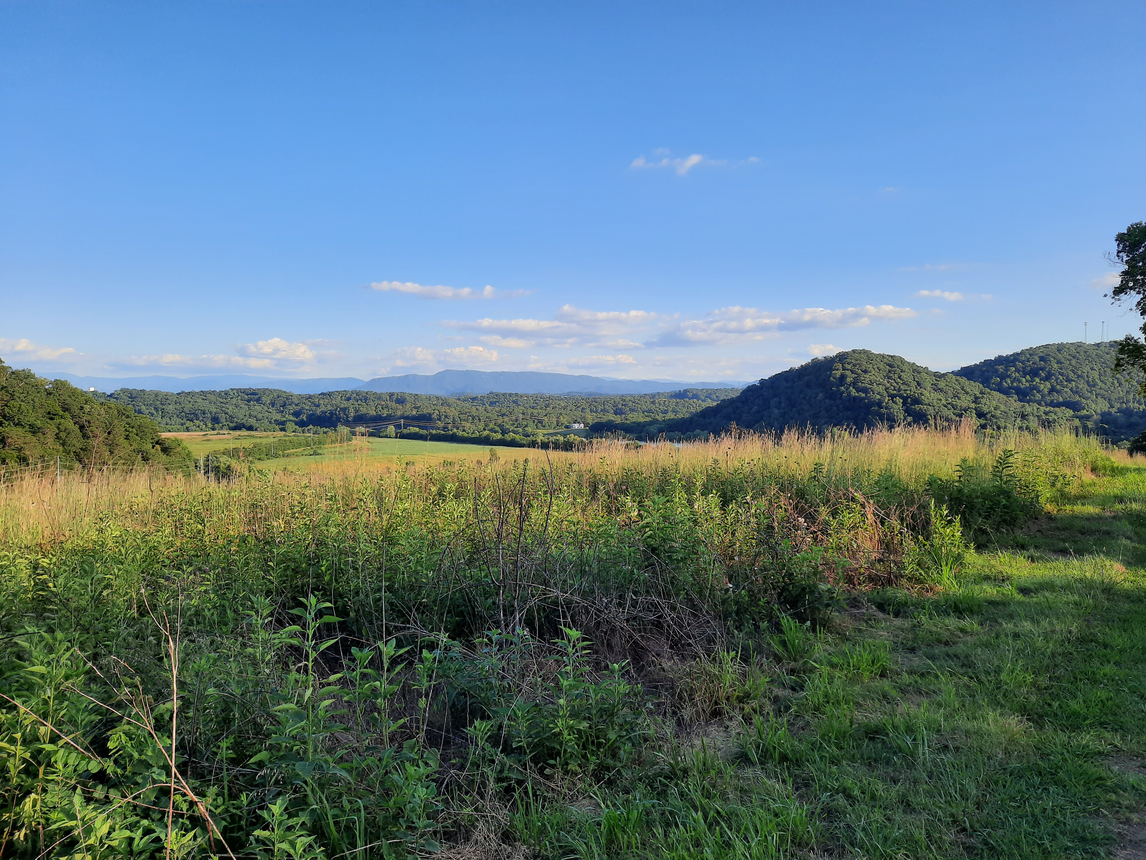
Today, most are protected by overlapping state, federal, or private land-management entities. Some balds are in various stages of reverting back to forest, the laws of old-field succession operating as predicted. Others are kept in grass by mowing or grazing by lightly-managed herds of semi-wild ponies. Others seem to persist by new natural forces, a shift in soil chemistry and species balance running deep enough to effect a permanent alteration.

In any case, each of these mountaintops is wholly different from its original landscape. Instead of dark, evergreen woods shading out all underbrush, there are prairies of abundance—where strawberries, blueberries, and blackberries invite human and animal foragers to partake. A ring scrub—a sort of high-altitude savanna—often buffers the fields from more dense woods typical of a region receiving 80-100 inches of rainfall each year.

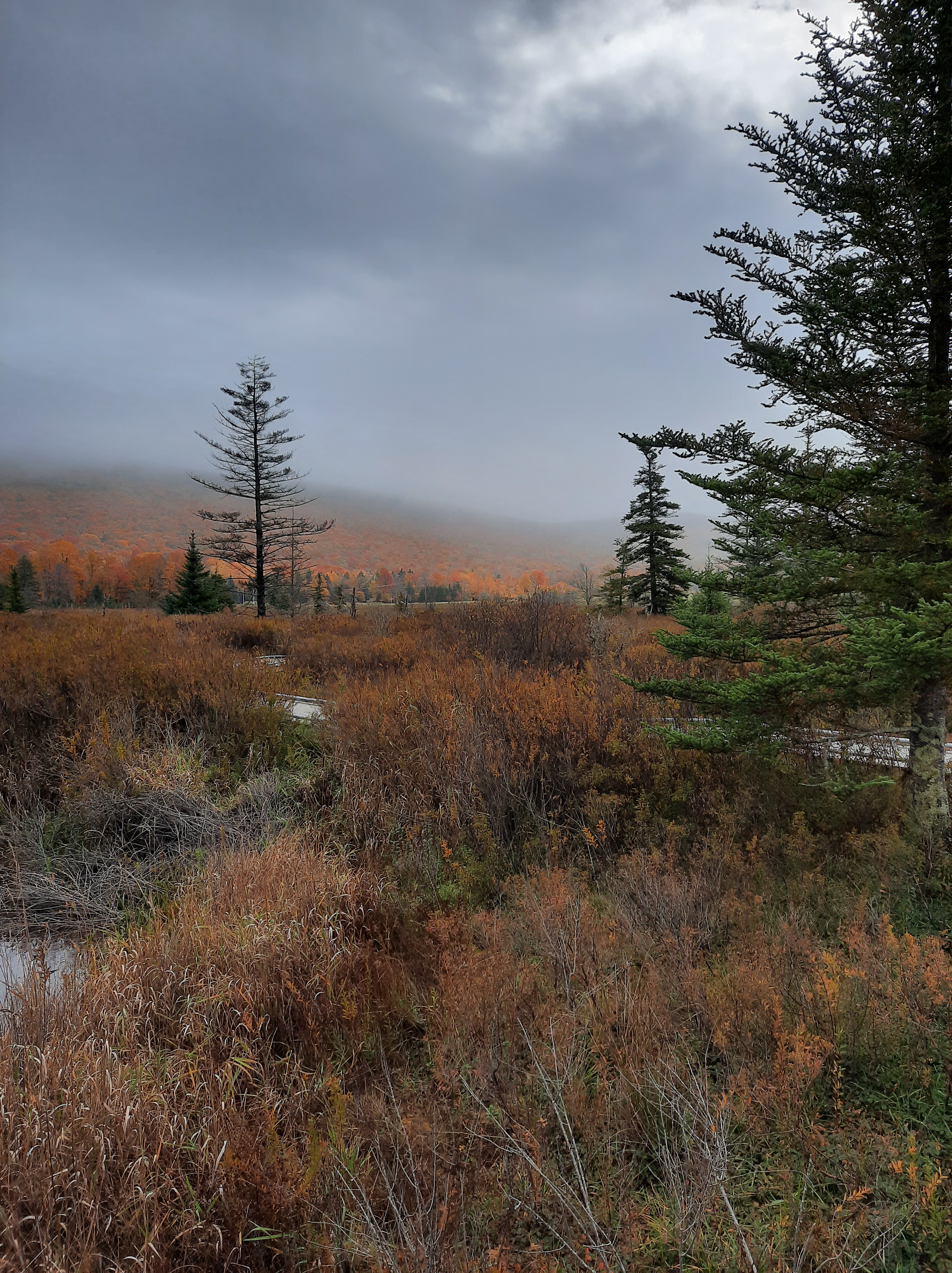
A few hundred miles to the northeast, the balds atop the Allegheny Plateau of West Virginia are referred to as “sods” in the local vernacular. Many of these have better attested origins, the largest a direct result of massive fires following clear-cut logging in the 19th century. Intense heat fueled by heaps of stumps and branches scoured humus down to bedrock. Amid the bare stones, grasses and lowbush blueberries stake a claim, with a few krummholz spruce in damp spots that retain some soil. In October, as the blueberries’ leaves flush crimson, thousands of acres of open space appear to burn again. To me, there is hardly a more lovely sight on earth, literally beauty from ashes.

Spacious Delight

All these places—pristine, healing, or permanently altered—speak of resurrection. Their message is not the twinkling-of-an-eye fix of all the sad things that ever took place, but the slow, almost imperceptible mustard seed growth of new life in the shadow of the old. It doesn’t make itself known right away. But it is there, hidden, waiting to outlast the destruction with unimaginable flourish.

Later in his poem, Hopkins concludes, “for all this, nature is never spent; there lives the dearest freshness deep down things.” The woods never give up. The truth and goodness of creation speak plainest in their beauty. The Holy Spirit, brooding over the bent world, imparts wisdom by the wonder of what God has made. 

Perhaps wonder feels like wisdom because it is a gift from the one who brings us out into spacious places because he delights in us (Ps. 18:19). There is a sense in which God has chosen to communicate both His power and the favor in which we walk as His beloved children though creation. ​​All God’s works speak. Even without words, “ their voice goes out into all the earth” (Ps. 19:3-4). As we consider our own creatureliness, the rest of creation shows us a God who is not embarrassed by our frailty but has ordered a world to sustain and fill us, even walking amid his hills and trees together with us for a time.  

The grandeur of Creation, in large and small incarnations, lifts our heads, telling us that all that crushes and wearies us is yet part of a different, better story. Beauty represents God’s attunement to us, confirming the reality of truth and goodness when so many facts on the ground call them into question. It wraps the Lord’s love and glory and wrath and power into a form that cannot be apprehended, but only received.

When I go to the mountains, I remember.

Under the loud silence of a canopy of birds, in the steamy green darkness of an Appalachian cove, with silver-spotted skippers licking sweat from my forehead, I feel fully present in His world. My heart and mind are pulled back into curiosity and hope. I am held fast in my limits, sustained in abundance, and called to worship.

Featured Image: Poplar in Joyce Kilmer Memorial Forest, June 2022.

Into the Woods: Allegheny Front

In 2012, my wife and I spent our anniversary exploring a corner of the Eastern U.S. that we’d never visited before. We found it so delightful that we hoped to return soon. A few years (and a couple of kids) later we were able to return this month with the whole family to Tucker County, West Virginia.

I’m sure this place is beautiful in other seasons, but having only ever visited in October, I can confirm that it is positively magical then. The quality and quantity of fall foliage is blinding—thick forests of maple, birch, and aspen punctuated with the deep green of spruces and firs, or open plains of knee-high blueberry bushes, each outstretched leaf turned to a crimson candle in the setting sunlight.

This time around, because we had a toddler with us, the hiking was limited in both speed and distance, but we still spent plenty of time outside. A few of our favorite spots are listed below.

Canaan Valley State Park and National Wildlife Refuge

This is where we landed when we first visited the area, and we were still taken by it this year. Canaan Valley is a geological curiosity, a nearly perfectly flat depression (give-or-take, 8 miles long by 3 miles wide) on top of a high plateau. Given this, the valley floor is still over 3,000 feet above sea level, which, coupled with its location at nearly 40° north latitude creates a biome more akin to Minnesota than the Mid-Atlantic. Its flat topography lends itself to swampy terrain, with numerous ponds, sphagnum bogs, and tall-grass wetlands lining the meandering headwaters of the Blackwater River.

The state park has a fine network of trails (and cabins and a nice hotel, to boot) along the river and into the hills on the west side of the valley. In the southeast corner of the valley, the park also operates a small ski resort with a respectable 1,000 ft. vertical drop and an average of 200+ inches of natural snow each winter. If you’re there in October, you can ride the chairlift (which we did) to look at the leaves and enjoy great views of the valley.

Much of the remainder of the valley, apart from one other privately owned ski resort and scattered houses and farms, is occupied by a national wildlife refuge, preserving the boggy wetlands for migrating waterfowl. There is an excellent boardwalk for birdwatching in the heart of the refuge, circling through a fir forest, meadows of cotton grass and swampy tangles of wild spiraea. Quiet gravel roads snake through the refuge into Monongahela National Forest, with opportunities for hiking, wild cranberry picking, camping, or just country driving.

Blackwater Falls State Park
If you follow the Blackwater River to the northwestern end of the valley, it drops over a lovely 50′ waterfall and then dives into a canyon on its way down to the Monongahela River basin. The spectacle of fall foliage in the canyon rivals any show I’ve ever seen anywhere (and, seeing as our anniversary is in October, we’ve witnessed peak fall color in quite a few parts of the country over the years). You just want to sit and soak it in for hours.

We didn’t do any real hiking here this time around, though there are plenty of trails. The kids found some trees to climb and made leaf piles to jump in and throw at one another, and we enjoyed the (rather crowded) walk down to the falls.

Dolly Sods Wilderness and Bear Rocks Preserve
The thing that drew us to WV in the first place was Dolly Sods, which I’d read about on other hiking blogs—a place of mystery (including unexploded WWII training bombs!) above the clouds, a vast plain where the virgin forest was clearcut and fires seared the soil so that the trees may never return fully. Whatever the origins, the current state of the place is sheer, inexpressible beauty.

We only had a fleeting moment to visit this time (due to a sewage issue that forced us out of our AirBNB and cut the trip short, another story altogether—par for the course on our family vacations!), but happened to be there near sunset. All I can say is that the pictures speak for themselves. For someplace so close to civilization (ca. 2.5 hours from Washington, D.C.), it is as otherworldly as any spot this side of the Rockies. There are dozens of miles of trails zigzagging the wilderness, some of which we hiked last time, but we took a toddler-paced, restful amble this time.

Seneca Rocks
The only spot we hit on this trip that we didn’t last time was Seneca Rocks, a tourist photo-op standby and rock climbing Mecca. We managed to hike to the observation platform (a steep trail gaining 600+ feet in 1.3 miles) with the whole family, and then the older two girls coaxed me up to the knife-edge ridge for a better view and a dose of adrenaline. Well worth the visit.

We’ll be back again sometime, I’m sure. I’ll leave you with one obligatory New River Gorge Bridge shot to invite you to try it out as well. This is a state hard hit by centuries of environmental destruction and decades of economic devastation (it’s the only state in the U.S. with fewer people than it had in 1950), but there is a wealth of beauty and sparks of resilient community around the state. We’ve grown to love it, and hope others will, too.

Into the Woods: Seven Islands Birding State Park

With gathering indoors but a happy memory these days, it’s a great time to get out and hike. We’ve done our fair share over the past few months, but it’s been a while since I’ve posted any trip reports. Some of this is because it’s been a family affair, and carrying a 2-year old limits both how far you can walk and how many pictures you can take while doing it. We’ve hit some of our old favorite spots (Huckleberry Knob), some new ones (Conasauga Snorkel Hole), some farther afield (Hawksbill Mountain in Linville Gorge Wilderness), and lots of walks close to home (Tennessee Riverpark, Chickamauga Battlefield, and Enterprise South Nature Park).

A couple of weeks ago, though, I had occasion to be in Knoxville, and the weather coaxed me to spend some time outdoors. I don’t care much for hiking in the lowland South in the summer—too hot, too humid, too many bugs, snakes, and poison ivy. That week, though, a fading tropical storm working its way up the East Coast pulled some drier, cooler air around its west side, making July in East Tennessee a trifle more bearable for a couple of days. When you’ve lived in this part of the world for a few decades, you know better than to let those opportunities slip by—it might be months before another really nice day comes along.

I opted to take advantage of this particular day to check out a spot I’ve seen signs for but never visited—Seven Islands Birding State Park. I’d read that it had access to the French Broad River, so I went initially with the aim of fishing, but found a lot more.

For starters, this place is beautiful. The River defines the space, looping around the whole park, and there is a very nice footbridge connecting the main path to one of the islands. Due to its open, meadowy nature, the views are also impressive. The Great Smoky Mountains rise just a few miles south of the park, and from one of the hilltops, the whole ridge (including Mount LeConte) opens into view. There are also a few ponds and marshes dotting the area.

Beyond that, the park lives up to the “birding” part of its name. There are birds everywhere. In just a few hours, I saw hawks, herons, and ducks, along with a bevy of songbirds like goldfinches, indigo buntings, yellow-breasted chats, several different warblers, and other more common species. I heard, though did not see, a few bobwhite quail, too. This was a treat. It was so common to hear their tell-tale whistle in rural Georgia in my childhood, but populations of these ground-dwelling birds have plummeted in recent decades due to habitat loss. In fact, preservation of prime quail habitat is the park’s key goal. There was plenty of non-bird wildlife, too. I saw dozens of deer, hundreds of rabbits, bullfrogs, bugs, a muskrat, and a field mouse.

I did fish (as is often the case, to no avail—with either flies or spinning lures), but the evening light lured me to spend a couple of hours exploring the trails, most of which are wide-mown paths through a tallgrass prairie ecosystem. This plant life was just as impressive as the animals. In a part of the country that is largely comprised of forests, farms, and urban development, it’s not often we get to see native grasses and field plants have their day. I’ve read that pre-colonial indigenous land management practices made extensive use of fire and other methods to cultivate Southeastern prairies as way to increase herds/flocks of game, but these practices haven’t been preserved, leading to a false ideal of “wilderness” that actually eliminates crucial habitat. This little state park is a testament to the wonders of restoration.

I probably rambled about 5 miles over the course of the afternoon, but barely scratched the surface of available trails. I’ll be back, and you should check it out, too. The park is just 5 minutes off I-40 (at exit 402), but a world away.

Into the Woods: Snake Mountain

When my family moved to North Carolina, in the summer of 1998, I was fourteen with an endless imagination for the adventures these hazy blue mountains would hold for an erstwhile Georgia flatlander. I moved away after a short while (to Dayton, Tenn., for college in 2002, and I’ve lived in Chattanooga since 2006), but these hills have always felt like home. Fortunately, my parents still live in the same county, so I get to come back and stay often.

Of all the mountains, perhaps none captured my fancy quite like Snake Mountain. It was due north from the back deck of the house we first lived in up there, its silent, volcano-like visage staring at me every morning. Unlike many other peaks around the area, it was also inaccessible—private property with no marked trail or easy access to its 5,555′ rock-strewn summit.

Some years ago, the property owner allowed for a hiking easement, but I’ve not found the time to check it out. Most hikes with family opt for more easily obtained objectives. This Christmas break, though, my sister, my brother-in-law, and I decided to give it a go. As a bonus, we even talked my dear wife and our oldest two girls into tagging along. Were we ever in for some fun.

The trailhead, such as it is, is a metal farm gate on the southbound side of Meat Camp Road, across from a gravel pull-off just big enough for three or four cars. It’s about 1/2 mile past the entrance to Elk Knob State Park (which is a worthwhile hike in its own right). There are several gates on the same side of the road, so look for the one with the “Practice Leave-No-Trace Hiking” sign on a telephone pole next to it. A quick hop of the gate (if it’s closed) and you’re off.

The first mile or so is a wide (if quite steep) unpaved road—whether for logging or access to utilities. The steady ascent moves between woods and fields, and opens up some fine views of nearby peaks.

After nearly 700 feet of elevation gain, the trail splits off the road and becomes excruciatingly vertical, navigating a narrow way through grass, rocks, and mud. Passing some impressive cliffs, the sweeping view to the north and east begins to take shape—taking in much of Ashe County and on up to Mount Rogers and Whitetop in Virginia.

The ascent slows at a sub peak, with a semi-level stretch along a narrowing rock-ledged ridge. At this point, off to the right, you might notice a road and parking lot, which is part of a failed housing development accessed through Tennessee (at this point, the ridgeline—and trail—follows the state line). I think you can access the trail from there, making a shorter approach. The easygoing stops abruptly when the trail appears to dead-end into a small cliff. We made the mistake of following some trodden ground to the right, but the trail actually goes straight up in a tough scramble (because it is private property without an “official” or maintained trail, the whole route is unblazed).

Because of the error, we ended up sidehill in thick woods as the false trail petered out. Rather than going back, we made a tree-to-tree sprint back to the top of the ridge to re-find the trail and made it to the north sub-summit for lunch. The view west and south (encompassing the Holston Valley, Grandfather Mountain, the Roan Mountain massif, and the Black Mountains) opens up. On this well warmer than average day, the wind was low, and ravens were circling the cliffs (likely eying my kids’ cheetos).

After a knee-busting descent down a stair-step of amphibolite outcroppings, a look back shows the difficulty of what you’ve accomplished.

The rest of the descent back to the road portion is a nice mix of deft, ACL-preserving maneuvers through leaves and mud and step-downs with some good, old-fashioned butt-busting slides. Once you hit the walkable section it’s a quick hustle back to the car. The whole descent from the summit barely took 30 minutes (covering nearly 2 miles). An afternoon well spent, with views as good as I’ve seen anywhere. My oldest daughter said the rock climbing work was harder than what we did at Joshua Tree this summer, which did my Carolina heart proud.