Into the Woods: Seven Islands Birding State Park

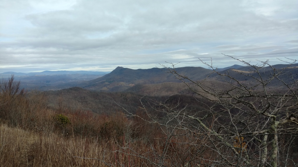
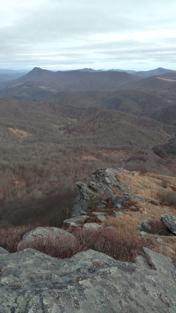
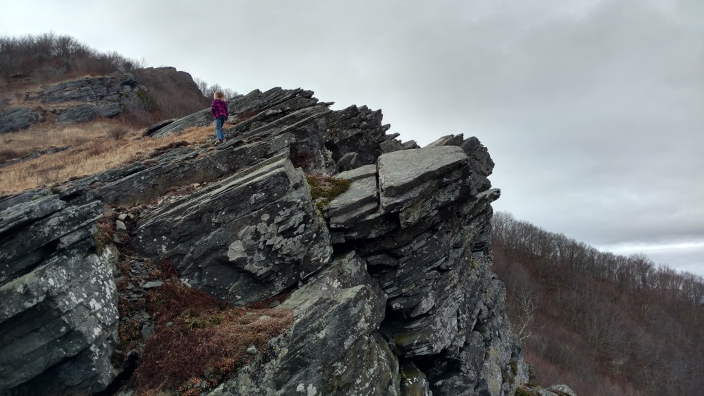
With gathering indoors but a happy memory these days, it’s a great time to get out and hike. We’ve done our fair share over the past few months, but it’s been a while since I’ve posted any trip reports. Some of this is because it’s been a family affair, and carrying a 2-year old limits both how far you can walk and how many pictures you can take while doing it. We’ve hit some of our old favorite spots (Huckleberry Knob), some new ones (Conasauga Snorkel Hole), some farther afield (Hawksbill Mountain in Linville Gorge Wilderness), and lots of walks close to home (Tennessee Riverpark, Chickamauga Battlefield, and Enterprise South Nature Park).

A couple of weeks ago, though, I had occasion to be in Knoxville, and the weather coaxed me to spend some time outdoors. I don’t care much for hiking in the lowland South in the summer—too hot, too humid, too many bugs, snakes, and poison ivy. That week, though, a fading tropical storm working its way up the East Coast pulled some drier, cooler air around its west side, making July in East Tennessee a trifle more bearable for a couple of days. When you’ve lived in this part of the world for a few decades, you know better than to let those opportunities slip by—it might be months before another really nice day comes along.

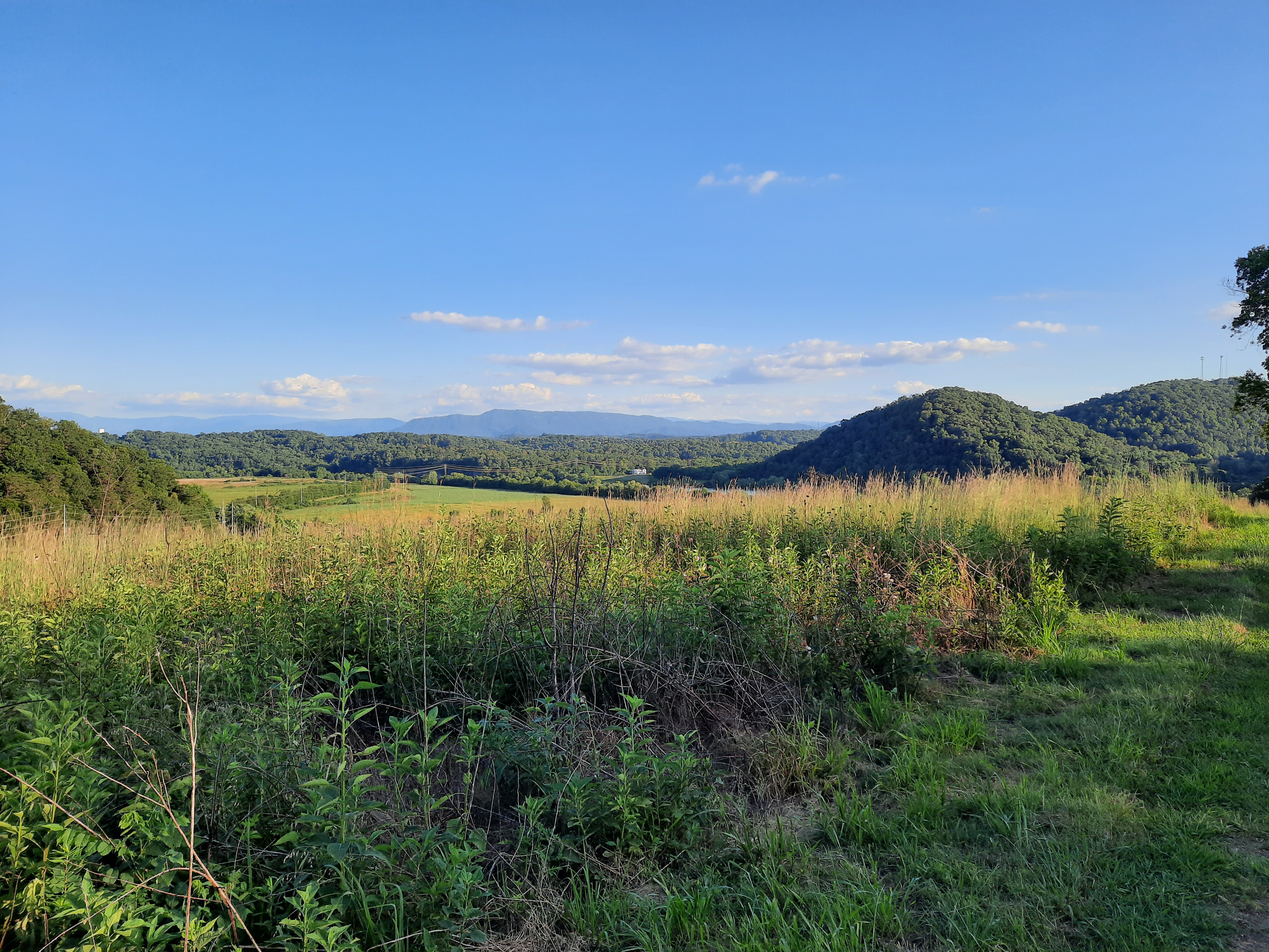
I opted to take advantage of this particular day to check out a spot I’ve seen signs for but never visited—Seven Islands Birding State Park. I’d read that it had access to the French Broad River, so I went initially with the aim of fishing, but found a lot more.

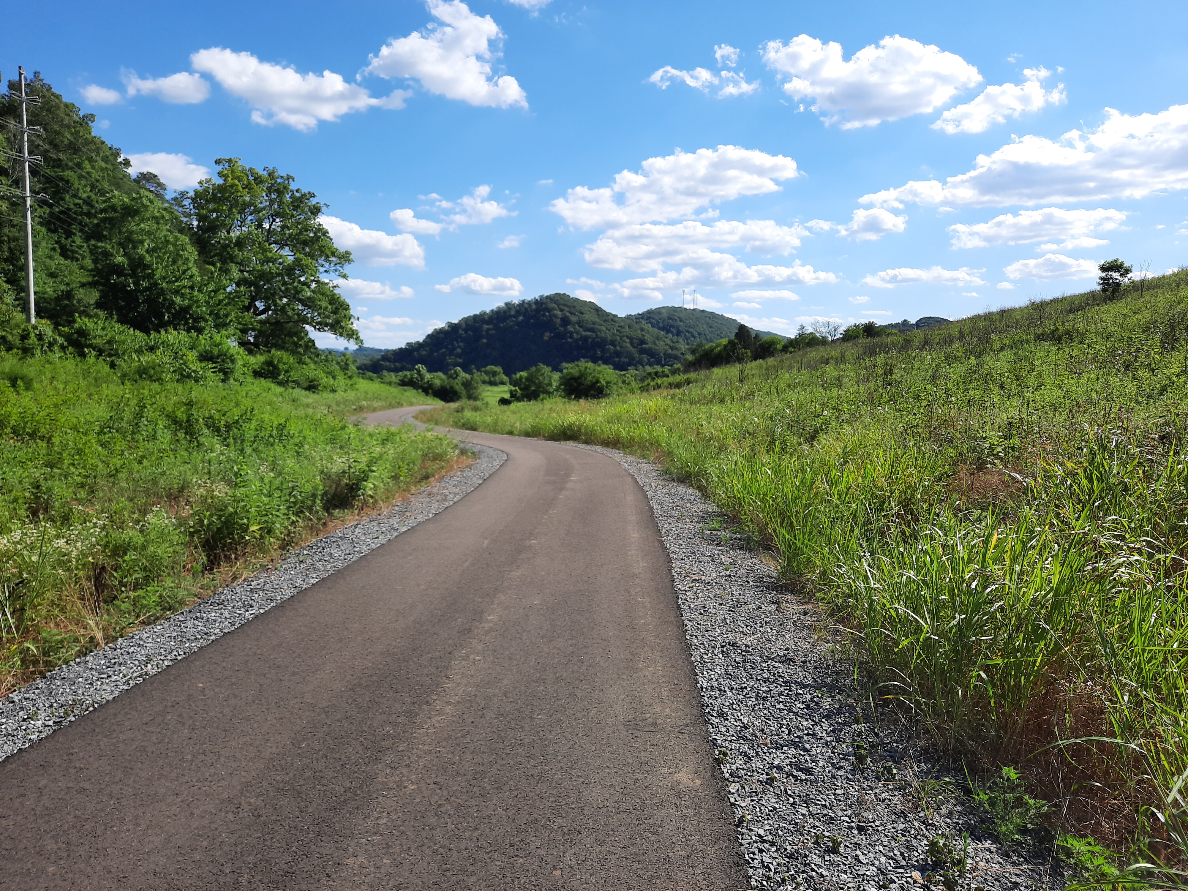
For starters, this place is beautiful. The River defines the space, looping around the whole park, and there is a very nice footbridge connecting the main path to one of the islands. Due to its open, meadowy nature, the views are also impressive. The Great Smoky Mountains rise just a few miles south of the park, and from one of the hilltops, the whole ridge (including Mount LeConte) opens into view. There are also a few ponds and marshes dotting the area.

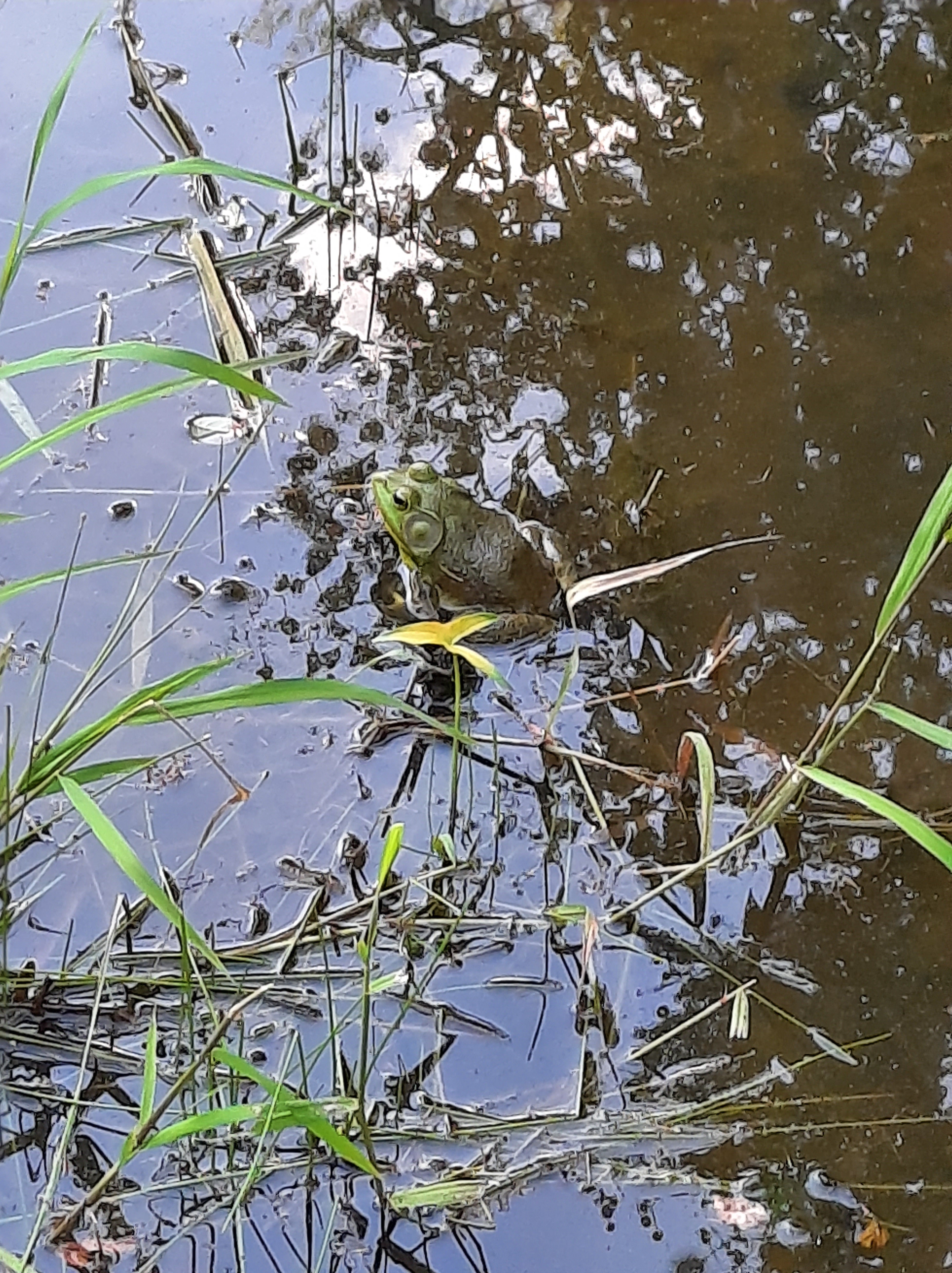
Beyond that, the park lives up to the “birding” part of its name. There are birds everywhere. In just a few hours, I saw hawks, herons, and ducks, along with a bevy of songbirds like goldfinches, indigo buntings, yellow-breasted chats, several different warblers, and other more common species. I heard, though did not see, a few bobwhite quail, too. This was a treat. It was so common to hear their tell-tale whistle in rural Georgia in my childhood, but populations of these ground-dwelling birds have plummeted in recent decades due to habitat loss. In fact, preservation of prime quail habitat is the park’s key goal. There was plenty of non-bird wildlife, too. I saw dozens of deer, hundreds of rabbits, bullfrogs, bugs, a muskrat, and a field mouse.

I did fish (as is often the case, to no avail—with either flies or spinning lures), but the evening light lured me to spend a couple of hours exploring the trails, most of which are wide-mown paths through a tallgrass prairie ecosystem. This plant life was just as impressive as the animals. In a part of the country that is largely comprised of forests, farms, and urban development, it’s not often we get to see native grasses and field plants have their day. I’ve read that pre-colonial indigenous land management practices made extensive use of fire and other methods to cultivate Southeastern prairies as way to increase herds/flocks of game, but these practices haven’t been preserved, leading to a false ideal of “wilderness” that actually eliminates crucial habitat. This little state park is a testament to the wonders of restoration.

I probably rambled about 5 miles over the course of the afternoon, but barely scratched the surface of available trails. I’ll be back, and you should check it out, too. The park is just 5 minutes off I-40 (at exit 402), but a world away.

Riverwalking

A walk by oneself is never lonely

Silence

Miscanthus whispers in the wind

Flutter

A maple applauds

Mumbling

“…I love you, too!” and the beep of a hung up phone

Footfalls

Two joggers: “…I mean, she wasn’t even breathing…”

Honking

A child: “It’s the flying V!”

Splash

Another: “That’s the biggest rock, dad”           

Whirring

A biker: “On your left”

Silence

Fellow daydreamer: A barely perceptible wave at waist level

Crunching

Squirrel: a pinecone disemboweled

Silence

Silence

Silence

A smile of recognition.

Image: Sunset on Tennessee Riverwalk, Hamilton County, Tenn., August 2019.

Into the Woods: Snake Mountain

When my family moved to North Carolina, in the summer of 1998, I was fourteen with an endless imagination for the adventures these hazy blue mountains would hold for an erstwhile Georgia flatlander. I moved away after a short while (to Dayton, Tenn., for college in 2002, and I’ve lived in Chattanooga since 2006), but these hills have always felt like home. Fortunately, my parents still live in the same county, so I get to come back and stay often.

Of all the mountains, perhaps none captured my fancy quite like Snake Mountain. It was due north from the back deck of the house we first lived in up there, its silent, volcano-like visage staring at me every morning. Unlike many other peaks around the area, it was also inaccessible—private property with no marked trail or easy access to its 5,555′ rock-strewn summit.

Some years ago, the property owner allowed for a hiking easement, but I’ve not found the time to check it out. Most hikes with family opt for more easily obtained objectives. This Christmas break, though, my sister, my brother-in-law, and I decided to give it a go. As a bonus, we even talked my dear wife and our oldest two girls into tagging along. Were we ever in for some fun.

The trailhead, such as it is, is a metal farm gate on the southbound side of Meat Camp Road, across from a gravel pull-off just big enough for three or four cars. It’s about 1/2 mile past the entrance to Elk Knob State Park (which is a worthwhile hike in its own right). There are several gates on the same side of the road, so look for the one with the “Practice Leave-No-Trace Hiking” sign on a telephone pole next to it. A quick hop of the gate (if it’s closed) and you’re off.

The first mile or so is a wide (if quite steep) unpaved road—whether for logging or access to utilities. The steady ascent moves between woods and fields, and opens up some fine views of nearby peaks.

After nearly 700 feet of elevation gain, the trail splits off the road and becomes excruciatingly vertical, navigating a narrow way through grass, rocks, and mud. Passing some impressive cliffs, the sweeping view to the north and east begins to take shape—taking in much of Ashe County and on up to Mount Rogers and Whitetop in Virginia.

The ascent slows at a sub peak, with a semi-level stretch along a narrowing rock-ledged ridge. At this point, off to the right, you might notice a road and parking lot, which is part of a failed housing development accessed through Tennessee (at this point, the ridgeline—and trail—follows the state line). I think you can access the trail from there, making a shorter approach. The easygoing stops abruptly when the trail appears to dead-end into a small cliff. We made the mistake of following some trodden ground to the right, but the trail actually goes straight up in a tough scramble (because it is private property without an “official” or maintained trail, the whole route is unblazed).

Because of the error, we ended up sidehill in thick woods as the false trail petered out. Rather than going back, we made a tree-to-tree sprint back to the top of the ridge to re-find the trail and made it to the north sub-summit for lunch. The view west and south (encompassing the Holston Valley, Grandfather Mountain, the Roan Mountain massif, and the Black Mountains) opens up. On this well warmer than average day, the wind was low, and ravens were circling the cliffs (likely eying my kids’ cheetos).

After a knee-busting descent down a stair-step of amphibolite outcroppings, a look back shows the difficulty of what you’ve accomplished.

The rest of the descent back to the road portion is a nice mix of deft, ACL-preserving maneuvers through leaves and mud and step-downs with some good, old-fashioned butt-busting slides. Once you hit the walkable section it’s a quick hustle back to the car. The whole descent from the summit barely took 30 minutes (covering nearly 2 miles). An afternoon well spent, with views as good as I’ve seen anywhere. My oldest daughter said the rock climbing work was harder than what we did at Joshua Tree this summer, which did my Carolina heart proud.

Into the Woods: Rock Creek Gorge

We’ve had a fine stretch of weather in the Tennessee Valley of late. Between soaking rains from the remnants of hurricanes Harvey and Irma, it was much cooler than normal for late summer. Like all good Southerners, whenever the calendar says, “hot,” and the thermometer says, “not,” I’m overcome with a weight of guilt for every moment spent indoors.

With that in mind, I took the opportunity to get out for a hike on Labor Day. Wanting to spend more time in the woods than in the car, I opted for a section of the Cumberland Trail in the northern part of our county. I’ve done short stretches of the CT before (Edwards’ Point, North Chick, Laurel-Snow), but never really explored it much. I’d heard good things about the Leggett Road access of the Rock Creek Gorge segment, so headed to check it out. It was easy enough to find (though parking is very limited), and only about a 40 minute drive from home.

The still-under-construction CT is known for being a rigorous hiking challenge, steep and rocky, with minimal funding from government agencies (and correspondingly minimal maintenance done by volunteers). You don’t go to the CT expecting wide, manicured pathways. What I found at Leggett, however, left some maintenance to be desired. I had intended to do a 5.6 mile out-and-back to the Rock Creek bridge, but scaled back to the Rock Creek Loop (with a 0.6 mile round-trip spur to Rock Creek overlook) for reasons described below.

Continue reading