Plenty of folks will tolerate walking a few miles over rough terrain for exercise, camping, to see a view, or to enjoy a particularly nice day, but not many of us enjoy the walking itself.
Owen, a good friend of ours going back to college days, now lives “over the mountains” from us in Waynesville, North Carolina. He’s an avid hiker and backpacker (since moving to NC, he has logged some serious miles), and it dawned on both of us a few years ago that we were each other’s only friend who enjoyed hiking on its own merits. That being the case, we’ve tried to get together at least once a year for a good stretch of the legs somewhere more or less equidistant from each of us.
In 2013, when the idea first came to fruition, I was staying at my parents’ home for a week in July, so we met to tackle Linville Gorge in North Carolina. We took two cars, parking one on the west side of the gorge and starting the hike from the east rim. We climbed up Hawksbill, and then promptly lost the trail on our way to the canyon floor (USFS Wilderness areas are [in]famous for non-existent trail maintenance and sparse signage). After a long scramble down the mountainside (you can only ever get so lost in a steep river valley), we picked up another trail and found the one footbridge across the river washed out. Not to be thwarted, we swam it, snakes and all. My friend went first; I tossed across our packs, and then dove in myself. We managed to dry off on the hot climb up the west rim, making it back to the other car minutes before a huge hail storm hit. Year 1: success.
In May of 2014, we conned another of our college buddies to join us for a 12-mile round trip in my neck of the woods: climbing Big Frog on the Benton MacKaye Trail. This time we got together the night before for some “comfort camping” out of the back of the car with good food and campfire conversations. We hit the trail in the morning, and had gotten about 200 yards into the woods when it started raining. Hard. No matter, though; it only lasted until we made it to the summit. We laughed, dried off as we made the long descent, and cured the misery with a burger on the way home. Year 2: comically good memories.
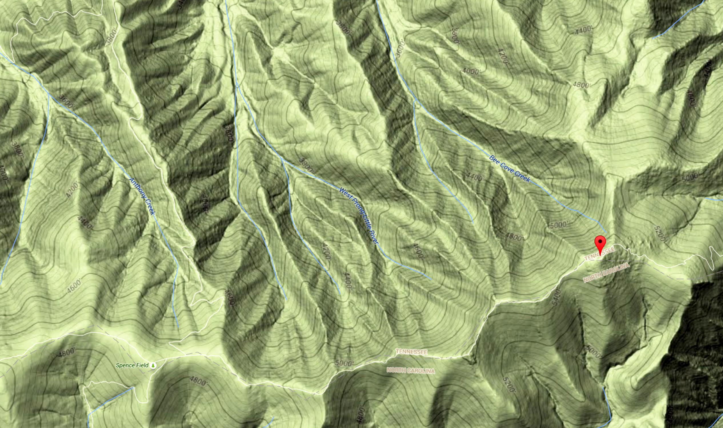
This month, ever gluttons for punishment, we chose to  try our hand at Rocky Top in the Northwest Quadrant of Great Smoky Mountains National Park. It’s a grueling climb by Eastern U.S. standards, with the shortest route (Lead Cove Trail > Bote Mountain Trail > Appalachian Trail) gaining 3,500+ feet in altitude over less than 6 miles.
We camped on a Friday at Cades Cove (word to the wise, if you want a weekend campsite there, book it well in advance). A sunset drive around the loop did not disappoint, with deer and coyotes showing off like they were on the NPS payroll. It was quite hot, but a small price to pay for a 0% chance of rain for hike day.
We woke with the sun, got packed and set to work on breakfast over the fire. It only took half of my first cup of coffee to call the weatherman’s bluff. It poured rain for about 10 minutes. Then the sun came out. As we were washing up the dishes and dousing the fire the same cycle happened again. Not a good sign.
We got to the trailhead, and the ground was dry, so we struck out. The humidity made for a sweaty and foggy ascent, but it did not rain. We passed some incredible trees (the north face of the Smokies is renowned for its old-growth tulip poplars and ra inforest-like climate), a few wild hog “wallers”, an enormous tom turkey, and a hundred different kinds of flowers I planned to photograph on the more leisurely hike back. When we finally made it to the summit, the promised view was obscured by 50′ visibility in a bright cloud. We rested for a few minutes in hopes it would break, but gave up pretty quickly.
Not a quarter mile down the return trail, it began to rain steadily. We put on our rain gear and trudged on. The farther we went, the harder it came down, thunder reverberating through the hollows. By the time we started the steepest part of the descent, the trail was nearly ankle deep in fast-moving runoff. At this point, you have to either laugh or cry; you don’t have a choice but to keep going.
Once we were within striking distance of our cars, the sun broke through. When we were almost dry, another storm came up with incredible speed, thoroughly re-soaking us for the last mile. All the planned photography was scrapped, so I have little to show from the hike but a good story to tell. A towel, dry shirt, and some tourist-priced (though happily not tourist-quality) smoked chicken at a riverside BBQ joint in Townsend offered just enough relief to recognize this insanity for the fun it is.
Year 3: If at first you get rained out, maybe summer hikes are not for you. How about fall or winter next time?


 Being the last weekend of the month, it was an open-gate day at